![]()
![]()
September 16, 2018
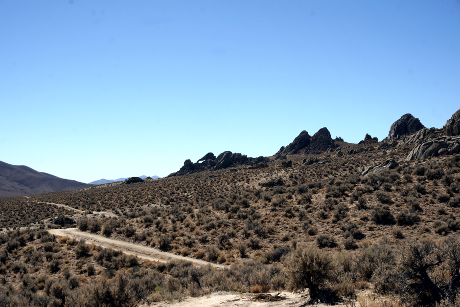
Sunday September 16, Deb, Chuck, Tom, Dave, Brandy, Jim and Rich head out for the Black Rock Lava Beds. The new people wanted to see Skull Rock. To make thing interesting we decided to find Elephant Rock and Tortoise Rock, Both also in the Lava Beds area. Early morning we set out Jungo Road. Having trekked to the Lava Bed (40° 35' 44.6" N 118° 59' 51.8" W) so many time we didn't need a GPS, or notes. Almost an hour later we were at the Lava Beds turn off. Once up the rocky road we came to the steep hill we traveled before; we knew it would excite the new people with us.
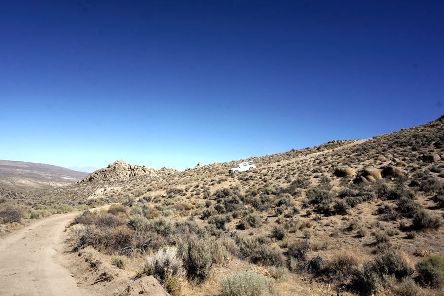
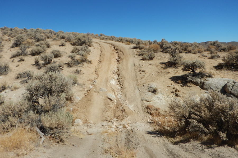
The road doesn't look steep, and it really isn't, but as a driver it can bring on anxiety
Most of the roads through the Lava Beds are like this. Easy for an SUV but don't
bring the family car.
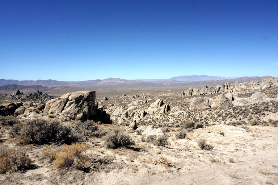
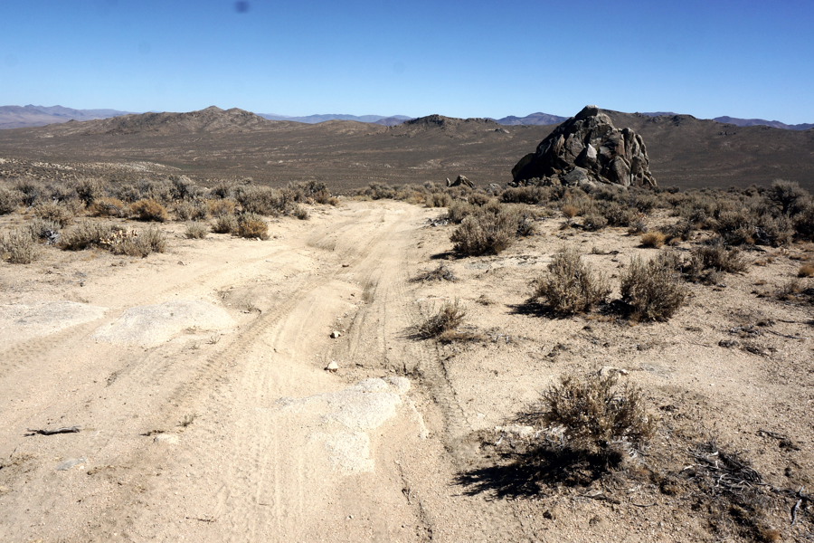
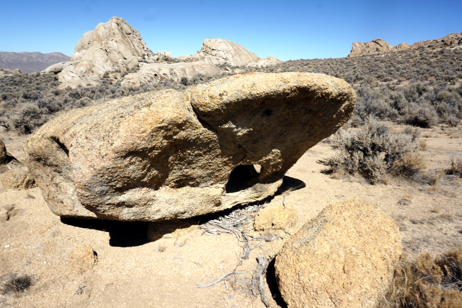
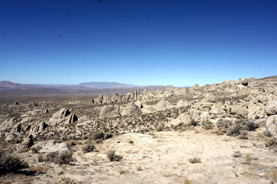
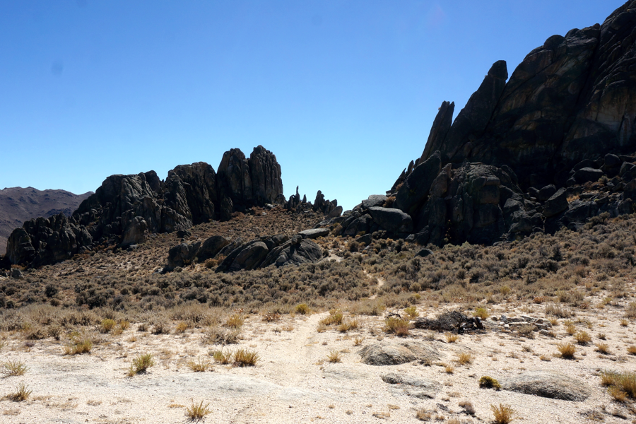
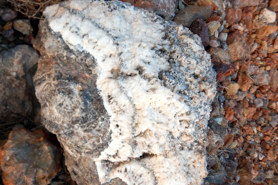
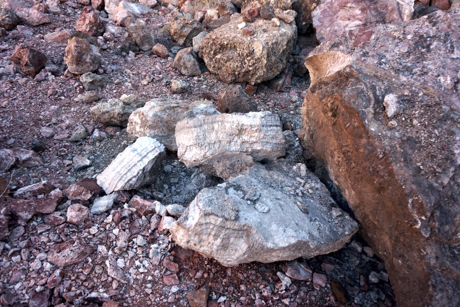
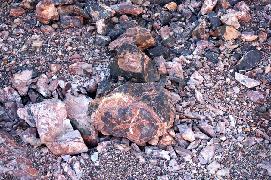
The Lava Beds in the Black Rock area are mostly granite that flowed eons ago. Flows and up thrusts abound and if you are willing to walk, there a literally thousands of photo opportunities. From large rock outcroppings to individual rocks, like this conglomerate boulder below. Holes, maybe created by the wind, can be found all over the Lava Bed area.
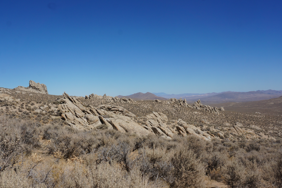
The Lava Beds has a large selection of places to photograph. Various 'flows' can be seen by just standing in one place and turning around. Although most of the flow is granite you will find a large selection of granite types along with Basalt, Sandstone and Conglomerates full of rounded pebble.
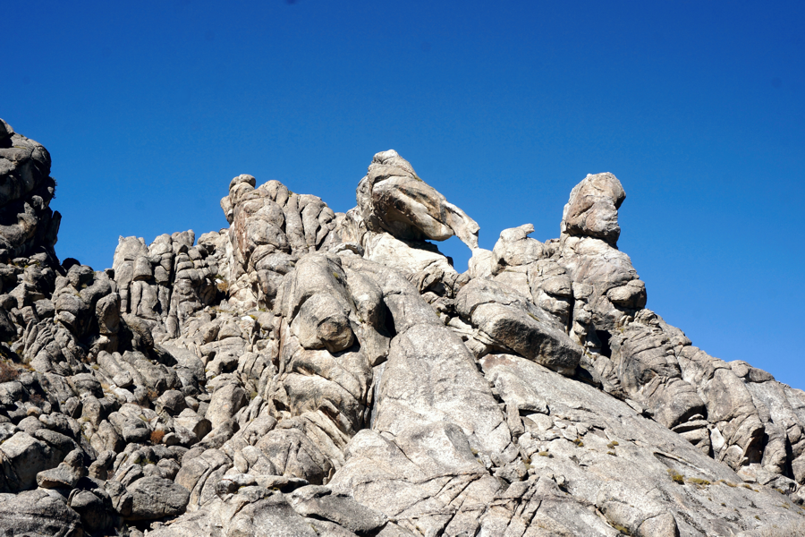
Skull Rock is located exactly 2 miles on the road turning into the Lava Beds. Drive to 40º 35' 51.06" N 119º 00' 04.09" W stop your vehicle. Skull Rock sits on your left at 40º 35' 58.60" N 119º 00' 03.20" W. It's about 300 feet from the road to the rock and while there are all rocks about anyone can make the hike.
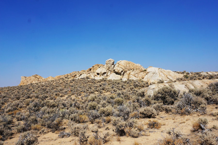
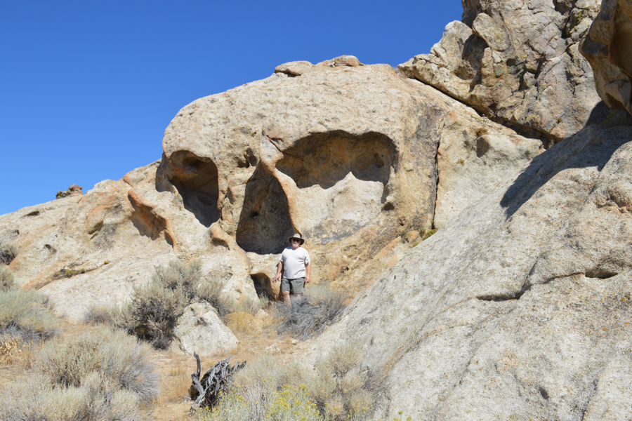
Above is your first view of Skull Rock. It's all you thought it was. Below, Dave stands in front of Skull Rock as a guide to its size.
After we spent some good time at Skull Rock our next goal was finding Elephant Rock. All we had to do was continue on the road we were on. The surrounding rocks took on a more "pointed' appearance making the landscape bizarre at places.
About another 2 miles and we saw Elephant Rock off in the distance. 40° 35' 24.80" N 118° 59' 05.70" W The road begins to get rough at this point. Rich and Tom took the side by side ahead of the group to survey the road to Elephant Rock. They were able to make it to the site of the rock and radioed to the group that the road, while challenging, was do-able BUT advised everyone not to try it because in some places there were large ruts.
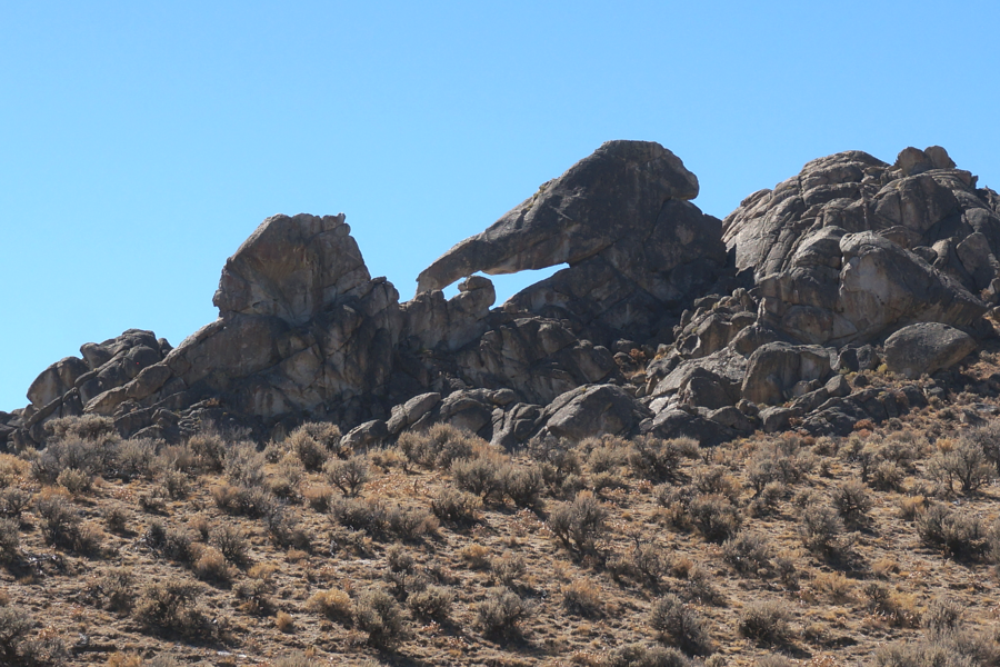
Above is Elephant Rock as seen from the north side of the formation
Below as seen from the south side. Its amazing how the rocks recorded the active flow.
.
Looks like a bunch of wrinkled elephant skin.
Rich and Tom returned to the waiting caravan with photos of a small wash with a rutted hill. Elephant Rock can be reached by bike, quads and side by sides. Those with 4x4 pick ups and a determined goal can make it as well but some of the roads are a challenge.
We decided to search for Tortoise Rock, also in the Lava Beds. Returning back we looked for a dirt road to our right that would take us North toward the Black Rock Playa. With everyone scanning the North no one found any sign of a road and we found ourselves back at Skull Rock. So much for the search for Tortoise Rock this year. We headed back to Gerlach.
- - - - - - AFTER NOTE - - - - -
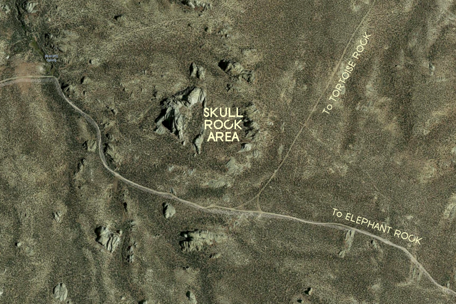
This map shows that there is a road to Tortoise Rock north of SKULL ROCK.
The road is hidden right out in the open, right at the intersection of the Skull Rock area.
After our return to Gerlach and dinner at Bruno's, Tom mentioned that there was an abandoned open pit mine a few miles down the road just over the hill west of Rt 447. Everyone seemed like they wanted relax except for Tom and Rich, so the two set out to check it out.
Wind Mountain Mine is located about 15 miles south of Gerlach. To get there take the exit 40° 27' 19.0" N 119° 20' 04.2" W for Empire Farms and the Geothermal Plant, then sorta just keep to your left. The road is paved then it ends. Continue on the dirt road until you come to a 'Y'. The paved road continues on the right toward Empire Farms. At that point you want to stay left on the dirt road towards the Thermal Plant. You will notice some sort of signs of a mine up on the hill to the left at 40° 25' 45.4" N 119° 23' 38.4" W
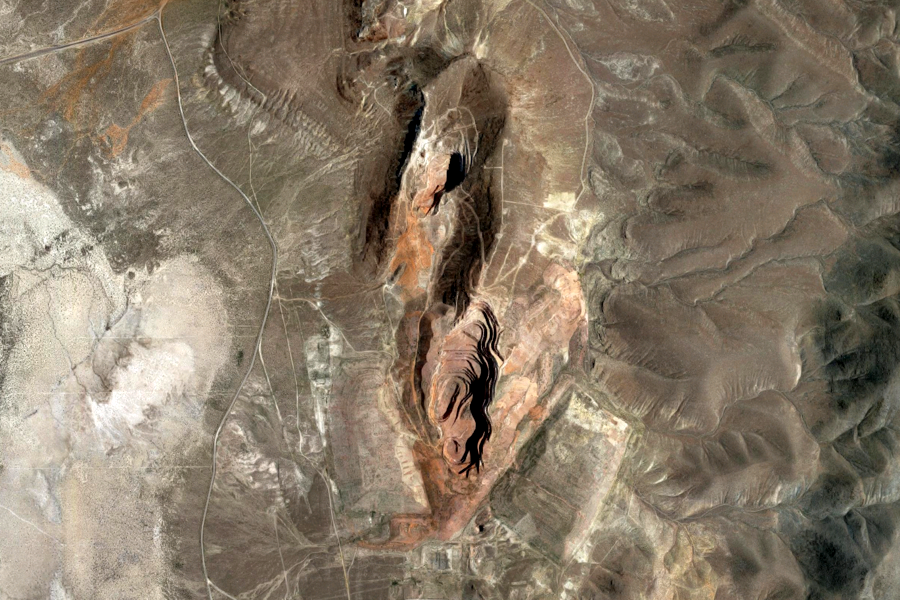
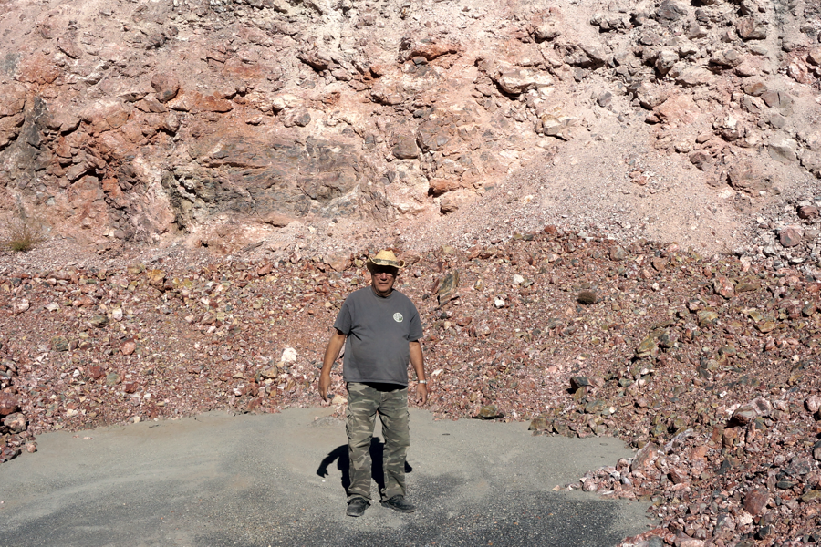
Wind Mountain Mine was a Gold and Silver venture that shut down in 1994 leaving several large open pits gouged into the mountain east of the San Emidio Desert between Rt447 and Smoke Creek. The road up to the mine has a wire fence that you can open, and be sure to close it after yourself. Then take the road uphill. There are no "No Trespassing" signs, no "Keep Out" signs, but there are a whole lot of Danger signs all along the wire fenced edge of the open pits. The road is relatively nice and a family car could make it to the top. You'll be amazed at the rocks along the way that sparkle in the sunlight.
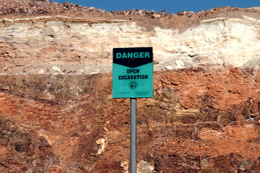
"DANGER OPEN EXCAVATION" signs surround all of the open pits.
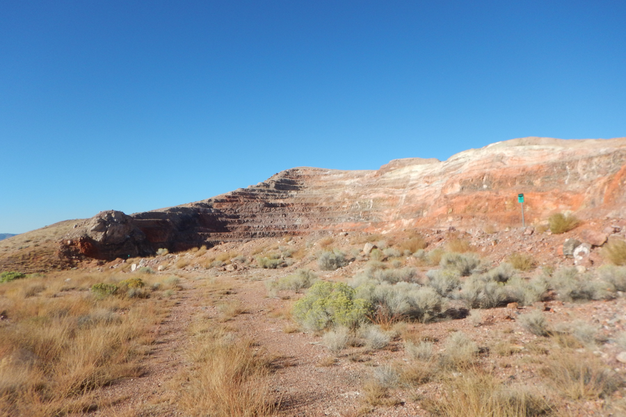
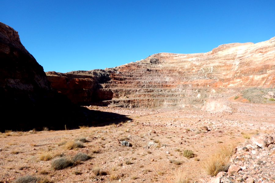
Rising at the top you can see the tiered walls of an open pit mine.
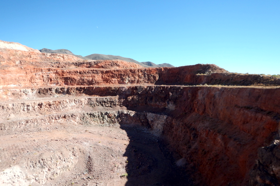
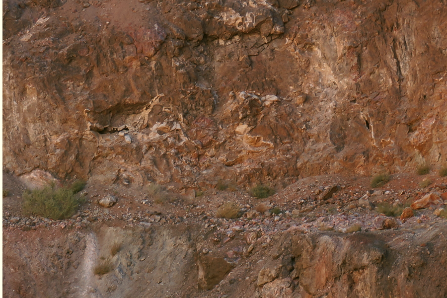
Looking into an open pit you can see the huge amount of digging that has taken place.
These pictures do not do justice as to the color and size of this operation. It is grand.
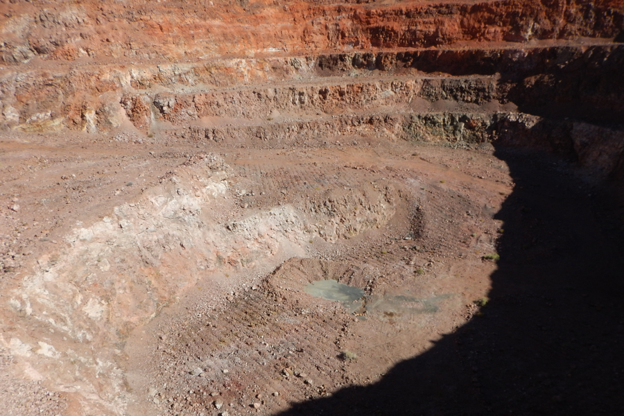
At the bottom of one of the pits is what looks like a green pool of water.
Tom stands on the green pool, actually solid green sand.
A brief research into the Wind Mountain Mine reveals all of the Wind Mountain pits, besides Gold and Silver, contain the following rocks and minerals: Electrum, Jarosite, Goethite, Pyrite, Travertine, Opal, Sulfur, Kaolinite, Cinnabar, Calcite, Quartz, Illite, Hematite, Chalcedony, Alunite and Clay (but not the mud type). Naturally we have no idea what the majority of these are but if you are a rock collector this place must be visited.
Roads lead down into each pit and each pit seems to hold its own character. As you go down you can notice the various veins and layers of different rock. Brown, Yellow, Blue, Green, White and mostly Red can be seen. Twisted and churned veins reveal ancient lava flows exposed by man's deep digging into the mountain. It makes you wonder what is inside all of the rest of the surrounding mountains.
Old thermal vents can be seen high on different tiers of rock.
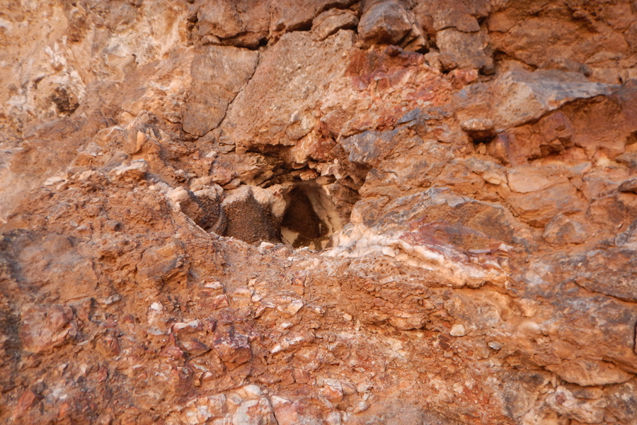
Climbing up to them reveals their Calcite lined interior.
The area is basically a thermal active area. There is a thermal plant near by. The entire area could be tunneled with hydro vents and all of them are lined with various minerals of Calcite, Quartz and others.
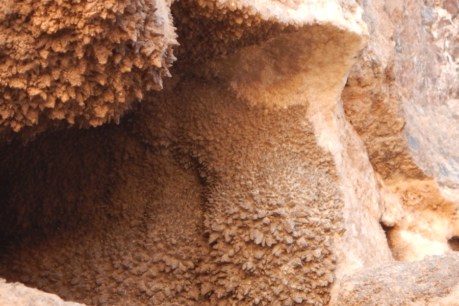
Close up of a vent's Calcite lining 3 to 4 inches thick.
Calcite lined rocks are everywhere
.
Other types of rock
abound. There's no need for digging, they just lay everywhere.
A good rock collector, any rock collector, will find the open pits of Wind Mountain a heaven of rocks. Tom went crazy gathering up rocks telling Rich, "Stop me, stop me!". Travertine, Quartz, Agate, Chalcedony and more. There are rock climbing opportunities to veins of Sulphur and rocks painted blue, green, purple and more. And don't forget the thermal vents. A Trek to Wind Mountain could be a day in itself. We only visited two pits because the day was ending and we wanted to get back to tell the others what we found.
THERE'S ALWAYS NEXT YEAR !
