![]()
![]()
September 16 , 2019
TRASHER MINE • LAKE VIEW AREA
THRASHER MINE
Monday morning found us with very cloudy skies. Kevin McGrath joined the gang with Rich, Chuck, Dave and a very hurting Tom. With the day looking like rain we took Kevin's suggestion to check out some local areas. He suggested Thrasher Mine which was just south of Gerlach to the east of Rt447S. So we were off and running. Kevin said the mine was an easy drive up hill then a short walk up to the mine site. - Yah sure!
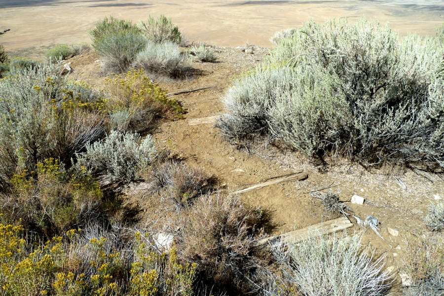
The Thrasher Mine turn off of Rt447 is at 40° 29' 35.6" N 119° 20' 04.5" W. The drive is short since you actually run out of road rather quick and to Kevin's surprise. From that point it's a good walk uphill on a road that is visible but impassable with a vehicle. The actual mine site is located at 40°29'02.2"N 119°17'41.2"W.
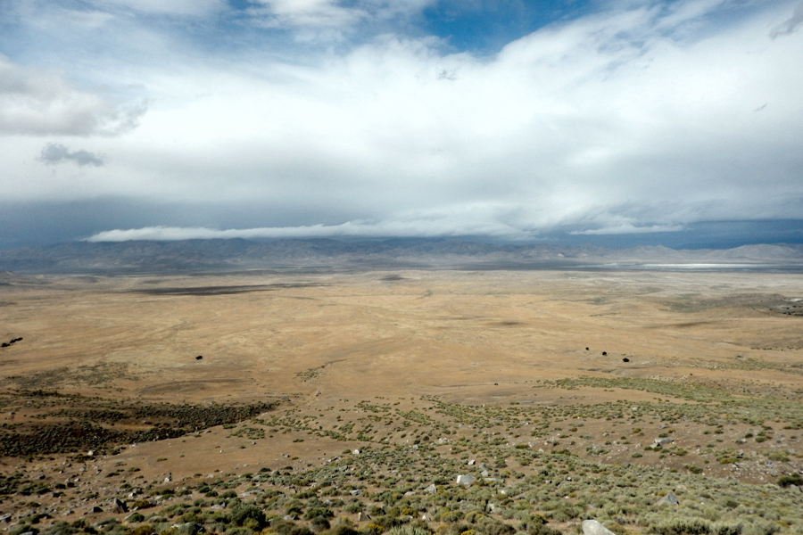
Looking back to Rt447 you can see our three vehicles parked on the left of the photo.
With our three vehicles parked on the left you can see the Empire Gypsum Mine on the right.

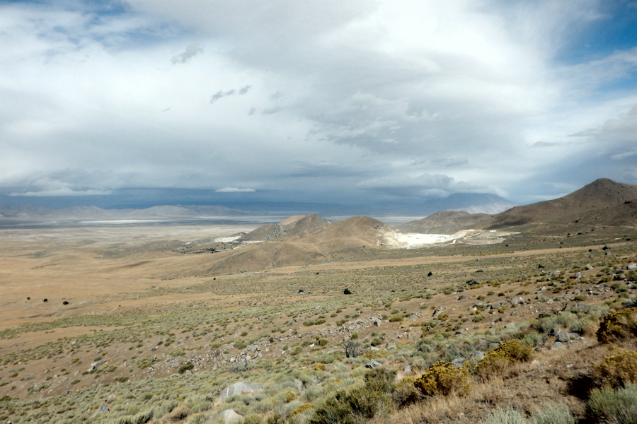
A closer view of the Gypsum Mine from the Thrasher Mine site.
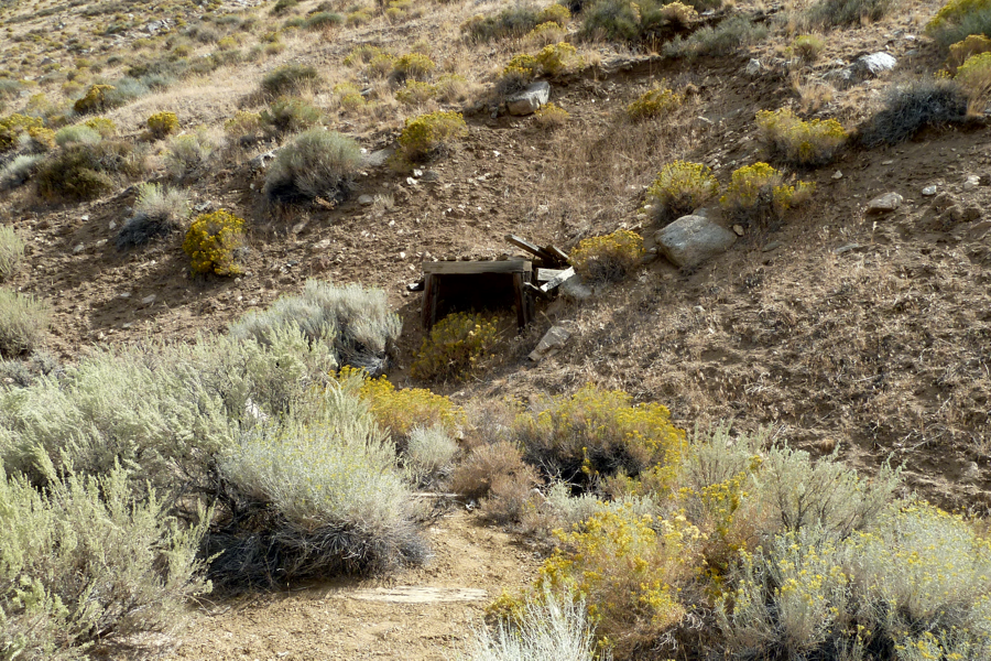
The actual Thrasher Mine entrance
A closer view shows the mine entrance backfilled with dirt.
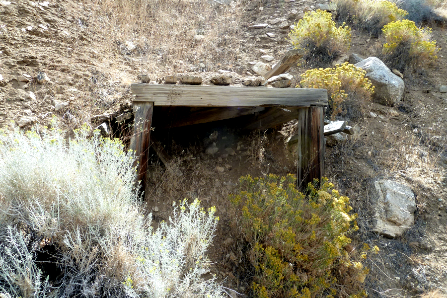
Railroad ties make up a set of steps up to the mine itself.
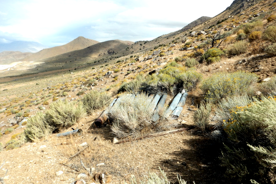
There is a nice pile of pipe along with some miscellaneous junk lying all about.
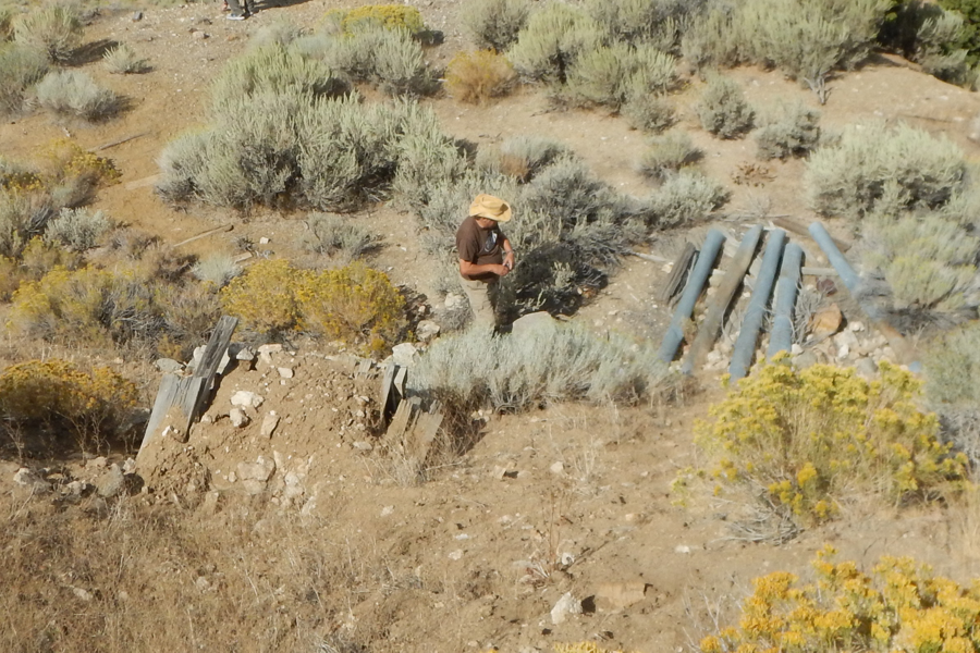
Tom standing in front of the mine entrance with the steps on the left and the pipes on the right.
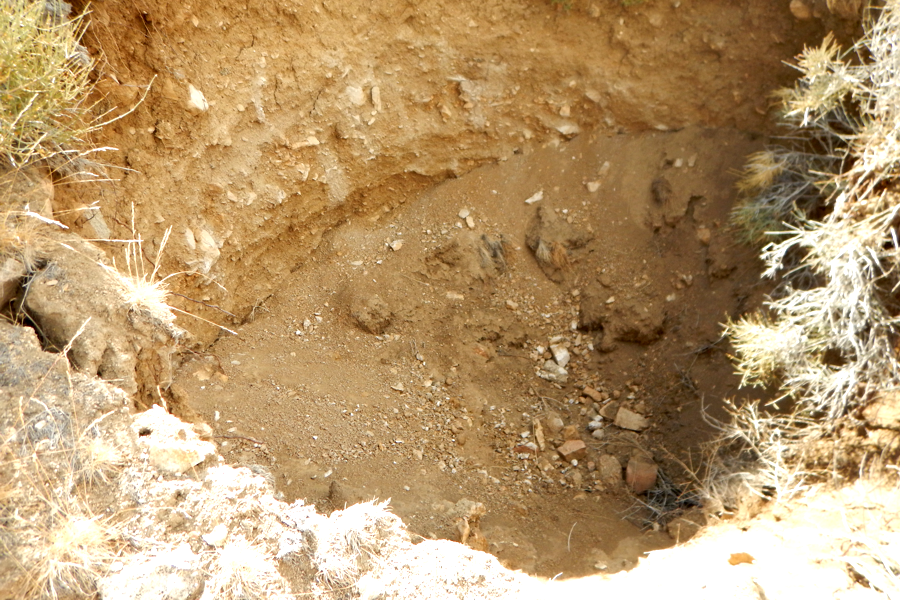
The only really exciting hope is a shaft directly above the mine adit, but it is completely filled in with dirt.
The walk back to our vehicles seemed longer than thought. Kevin suggested some mines on the north side of Gerlach off Rt447N. With the skies getting darker with the threat of rain Dave and Chuck opted not to go. Tom being in pain from the excursion up and down the hillside also opted to stay back and relax so that left Rich and Kevin to head out once again.
LAKEVIEW MINING AREA
The Lakeview Mining Area consists of four mines spread out north of Gerlach on Rt447. They sit East of the Squaw Valley Reservoir (40° 49' 13.5" N 119° 32' 01.7" W). Starting from the North and working South they are:.
Mountain View Mine |
||
Charles Nash’s Mine |
||
Silver Bell Mine |
||
Lake View Mine |
Squaw Creek Reservoir is known for its spillway at the southern end. But that's another story.
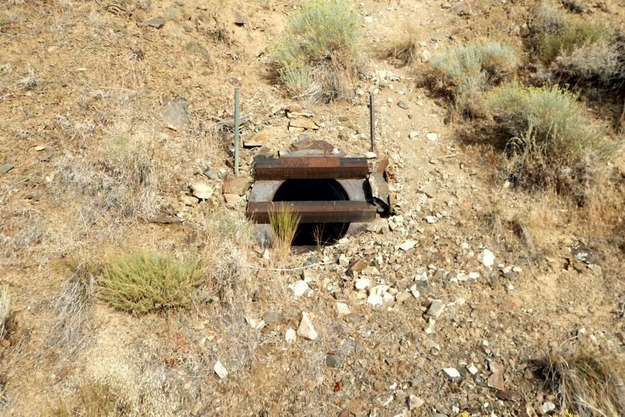
On the East side of Rt447N there are many dirt & gravel roads running all over the hills. Best traveled with an SUV no matter what, you will still have to park and walk about to find places. One of our first stops was near the Silver Bell mine (40° 50' 59.6" N 119° 30' 27.4" W). We found what looked like an adit going into the hillside. It had two large pieces of angle welded to the steel tubing used at the entrance.
Always be on guard as there are several rattle snakes about the area. Can you find the rattle snake in the photo below?
Mouse over the photo if you can't find it.
ALWAYS BE ON GUARD. Snakes (and other critters) like to use mines as their residence.
From the Silver Bell area looking back down the hill we climbed you can see Rt447 running near the middle of the photo and to the far left you can see the Squaw Valley Reservoir.
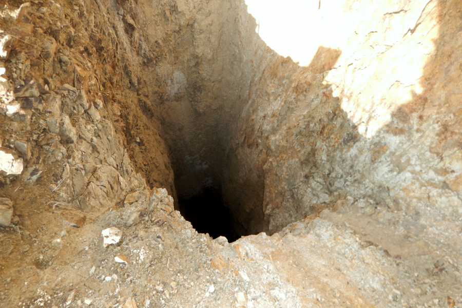
A short hike up the hill above the closed mine adit (and the snake) we found a large un-protected (unusual) mine shaft.
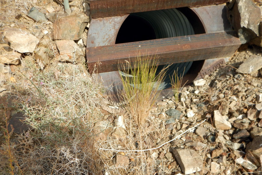
We scouted the area more and found another mine adit with a steel tube and large angle irons welded to 'seal' it off.
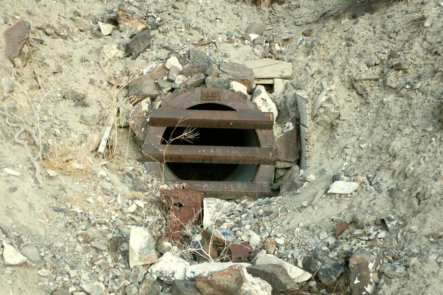
This adit was interesting since it had a plate welded to it stating "U.S. GOV PROPERTY". To the right and upper right of the steel tube you can see the original adit entrance made of wooden timbers. We have no idea what these mines were used for or why they are government property.
Heading up to the Mountain View mine we found the remains of an old processing area (40° 51' 16.3" N 119° 30' 44.9" W) downhill from the Mountain View mine. Some heavy duty equipment, or at least parts of heavy duty equipment) lay about the area. We also found a date in some concrete of the processing area that it was built in 1960.
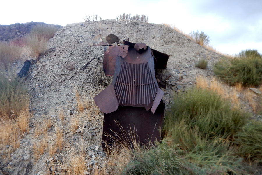
A large what seem to be a strainer set at the bottom of a tiling pile. We have no idea what else it could be.

What is left of a furnace - we think.
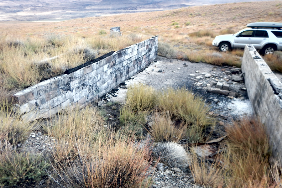
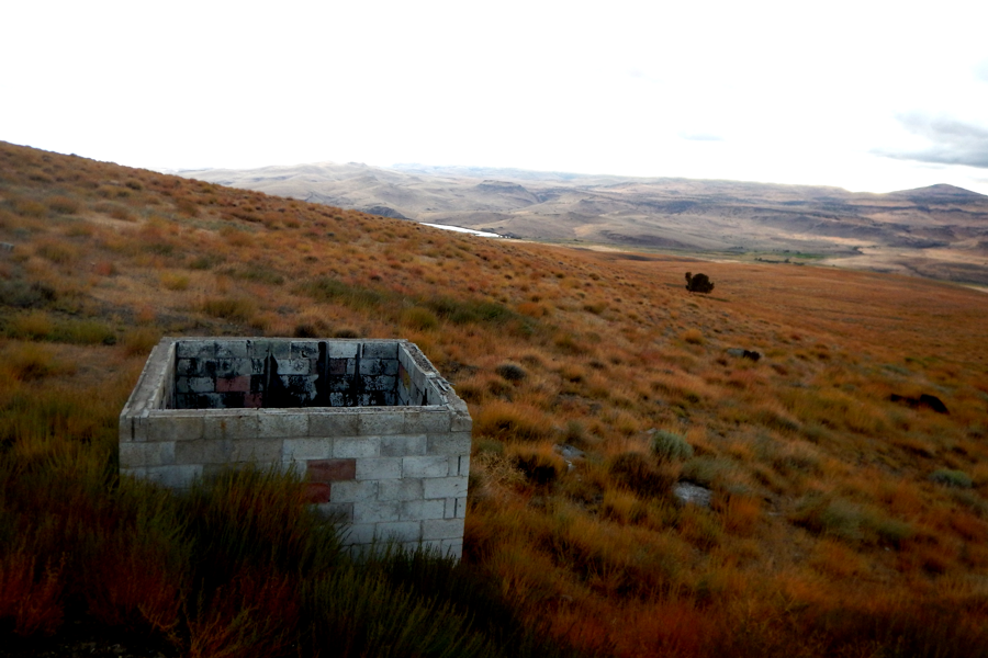
A large foundation of a two section structure. The upper wooden half is long gone.
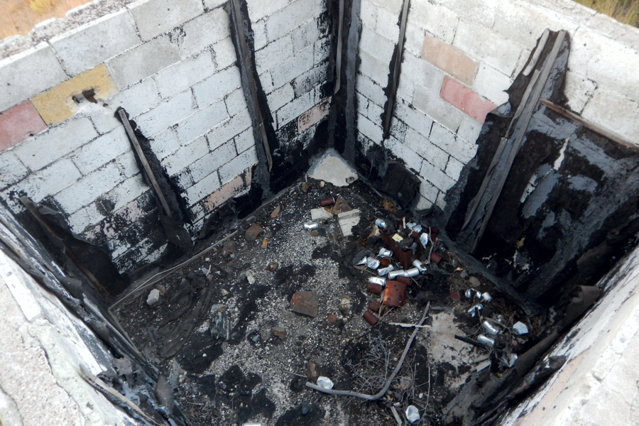
A concrete block structure remains. The interior dry wall is gone, but the door remains.
Might have been an office of some type but we doubt.
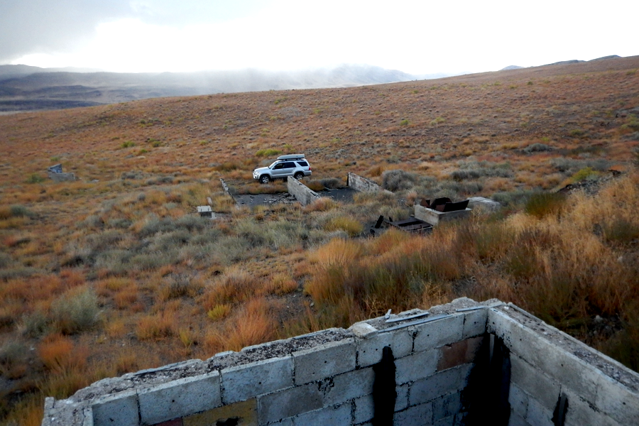
Looking toward the dirt road from the 'office' structure shows the two section structure and the 'furnace' structure.
We're probably wrong on all accounts.
The 'office' structure looking at the Squaw Creek Reservoir
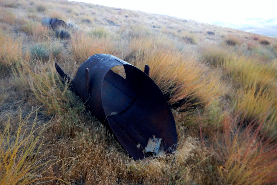
What remains of a heavy duty loading chute.
As with a lot of Black Rock weather things began to change quickly. The cloudy sky grew dark really fast and we decided to get heading back to town before the heavy rain began. The rain began as soon as we got into the SUV while the sky grew even darker.
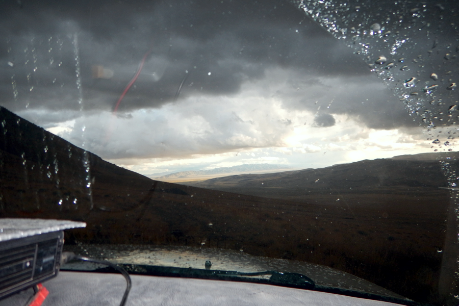
X
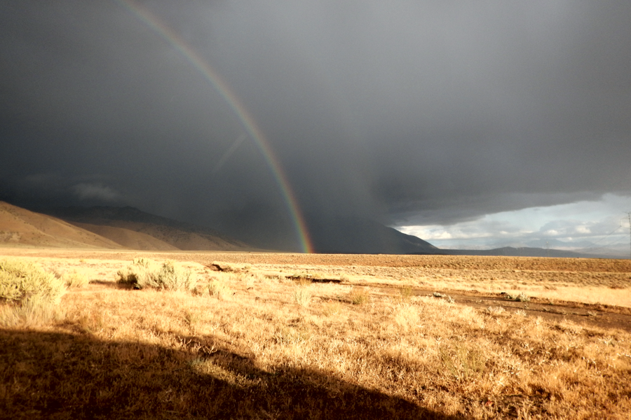
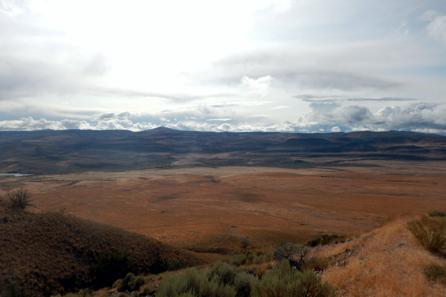
Again, like all desert weather, as soon as we reached level ground the rain stopped and the sun came out.
This photo looks at the north side of Granite mountain and the town of Gerlach in the open sky area.
Rather than continuing the exploration of the four mines in the area we called it quits for the day. There's always tomorrow and besides it was dinner time in town.
